


Reviews
0 / 0 reviews
 Natural Heritage Monuments

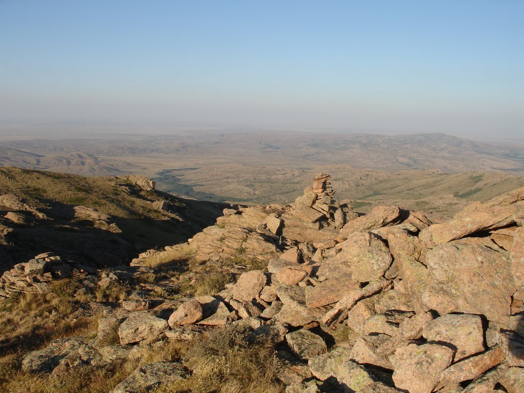
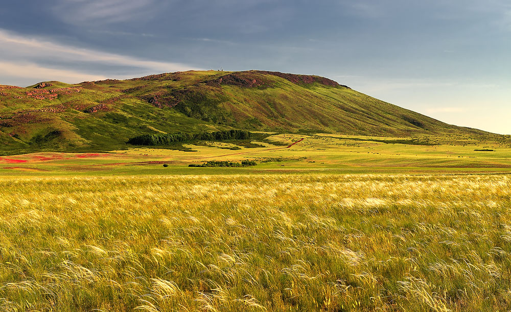
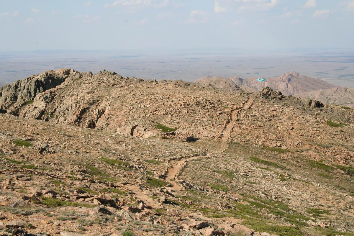
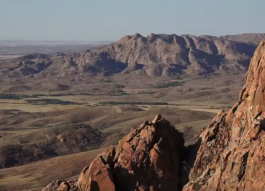
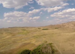
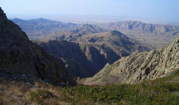
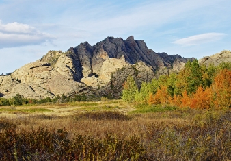
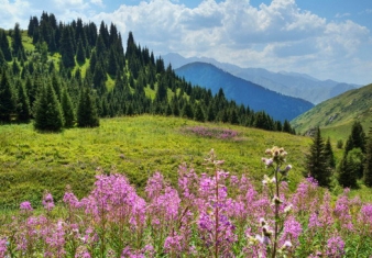
The cultural landscape of Ulytau is situated in the semi-desertic zone of Central Kazakhstan and it shows all its typical natural features: low mountains, conical-shaped hills, plains, river valleys and lakes. It includes places of exceptional natural beauty, natural habitats of rare species like relict plants, local botanical and zoological varieties, migratory routes for waterfowl (some of them on the red book like the Black Stork and the Pink Flamingo).
The region is on the main north-south vegetation corridor of Kazakhstan and has been inhabited from the earliest times: around 4500 BC it has been colonized by Neolithic cultures coming from south and attracted by its riverine and lacustrine habitats; during the Bronze age charioteers from the west came looking for metals; possibly an important center of formation of nomadic cultures during the iron ages.
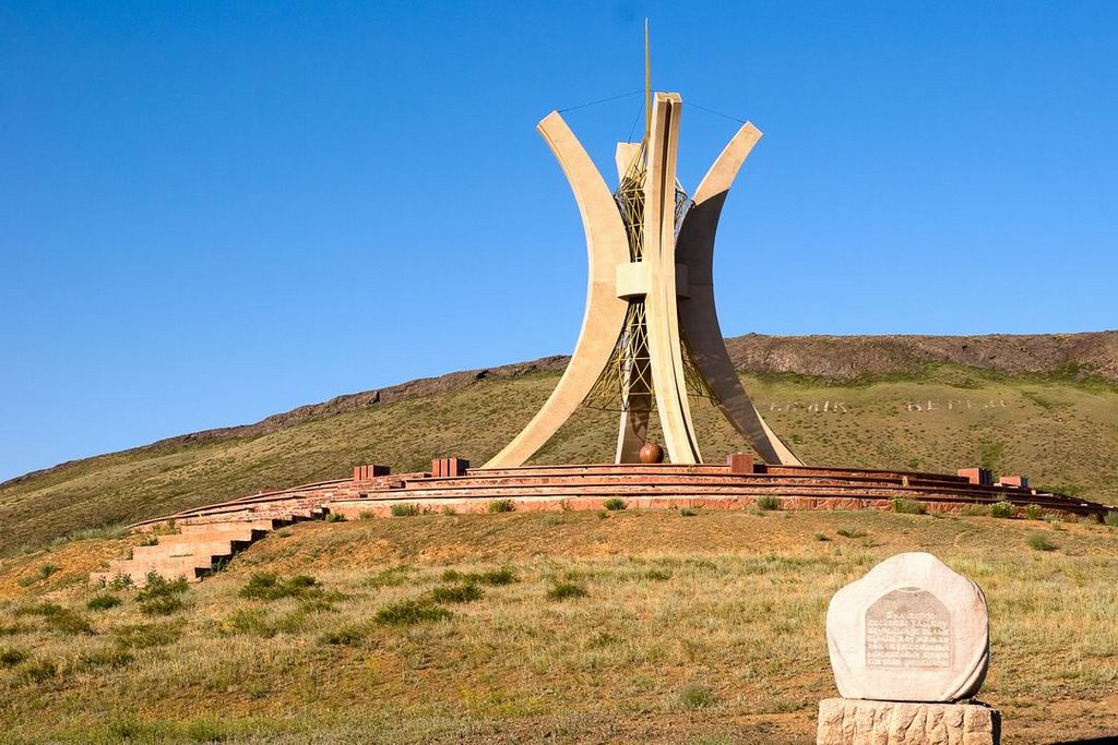
Its political and historical importance reached its peak during the Middle Ages, when the region became a main corridor of migrations of tribes and got its present name (Ulytau is a Turkish name and means 'great mountain'): during the Turkic period it has been the core of the Dasht-i-Kipchak steppes and the political center of the Ogouz--Kipchak Khaganates; under the Mongols it has been a secret burial place of the Gengis Khan descendants and of the Golden Horde khans, second in importance only to the burial area of Burkhan-Kaldun in Mongolia; and then it became a political centre of the Uzbek and Kazakh khans.
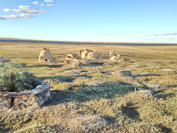
The archaeological remains of the Ulytau landscape show full evidence of all the phases of the human history and of the human interaction with the natural environment: ancient mines, settlements, burials, petroglyphs, anthropomorphic steles, hillforts and towers, medieval towns and mausolea. The mausoleum of the mythical first khan of the Kazakhs, Alasha khan, is located here; and so the only three preserved mausolea of the Golden Horde, the ones of Jochi-Khan, Ayak-Khamir and Balgan-Ana.
The ethnographic period is represented by necropolis and living buildings of the Kazakh nobility. Ancient nomadic traditions of horse-breeding, folklore and handicrafts have been preserved till today.
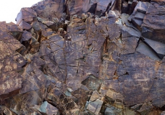
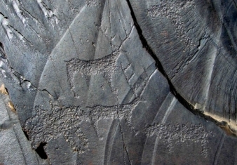
Set around the lush Tamgaly Gorge, amidst the vast, arid Chu-Ili mountains, is a remarkable concentration of some 5,000 petroglyphs (rock carvings) dating from the second half of the second millennium BC to the beginning of the 20th century.
Saryarka - Steppe and Lakes of Northern Kazakhstan comprises two protected areas: Naurzum State Nature Reserve and Korgalzhyn State Nature Reserve totalling 450,344 ha.
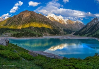
The natural object of nomination is located on the northern macrohillside of the ridge Trans-Ili Ala-Tau, which is the part of Northern Tyan Shan physical geographic province (Gvozdetskiy, Nikolaev, 1971).
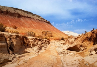
Altyn-Emel State National Nature Park is sprawled in the heart of Central Asia, in the valley of the Ili River, about 150 kilometers away from Almaty, Kazakhstan’s largest city.
The Aksu-Zhabagly Nature Reserve is the oldest nature reserve in Central Asia. It is located in the southern province of the Republic of Kazakhstan.
Sauiskandyk is on the north-eastern slopes of Karatau in the Shielin District of the Kyzylorda Region, 60km East of Shieli, 15km north of Aksumbe Village. Research Status and Documentation.


